South Canterbury Historical Repository
Generate AI SummaryFound 10 historical items
-
South Canterbury topography
Type: 3D topographyLocation: Maungati, Canterbury Region
-
Ardmore - Mt Horrible vent candidates
Type: 3D topography
-
Sketch of the Middle Island showing Timarou
Type: MapDate: c1841-42Sketch of the Middle Island of New Zealand showing Timarou location - Reduced from original Maori sketch made for Mr Halswell - Date about 1841 or 1842. Published by New Zealand Lands and Survey,

-
Sketch of the Middle Island showing Timarou
Type: MapDate: c1841-42Sketch of the Middle Island of New Zealand showing Timarou location - Reduced from original Maori sketch made for Mr Halswell - Date about 1841 or 1842. Published by New Zealand Lands and Survey,

-
Lieutenant (Capt) James Cook South Canterbury coastline
Type: MapDate: 01 Jan 1770Attempt to show first mapping of New Zealand in relation to actual coastline by Geoff Cloake
Location: Waimate, Canterbury
-
Lieutenant (Capt) James Cook views South Canterbury
Type: Feature ArticleDate: 22 Feb 1770Location: Otaio, Canterbury -
Lieutenant (Capt) James Cook views South Canterbury
Type: WebsiteDate: 22 Feb 1770Lieutenant (Capt) James Cook views South Canterbury from 3 miles off-shore. "The whole face of the Country appears barren, nor did we see any signs of inhabitants. ... The whole face of the Country appears barren, nor did we see any signs of inhabitants. ..."
Location: Otaio, Canterbury -
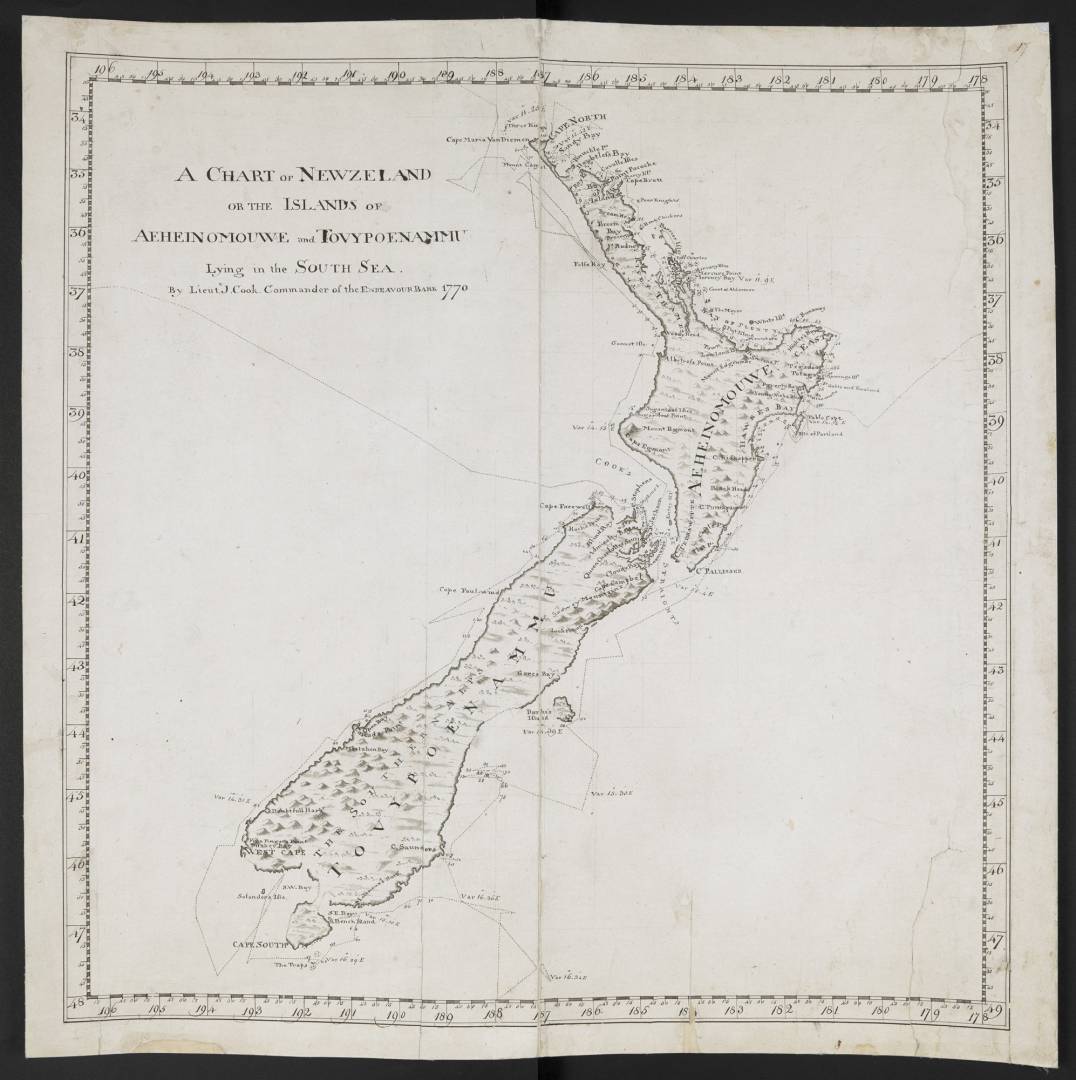
A chart of New Zealand by James Cook
Type: MapDate: 01 Apr 1770A Chart of New Zeland', by James Cook, surveyor, and Isaac Smith, draughtsman.
-
A chart of New Zealand by James Cook
Type: MapDate: 01 Apr 1770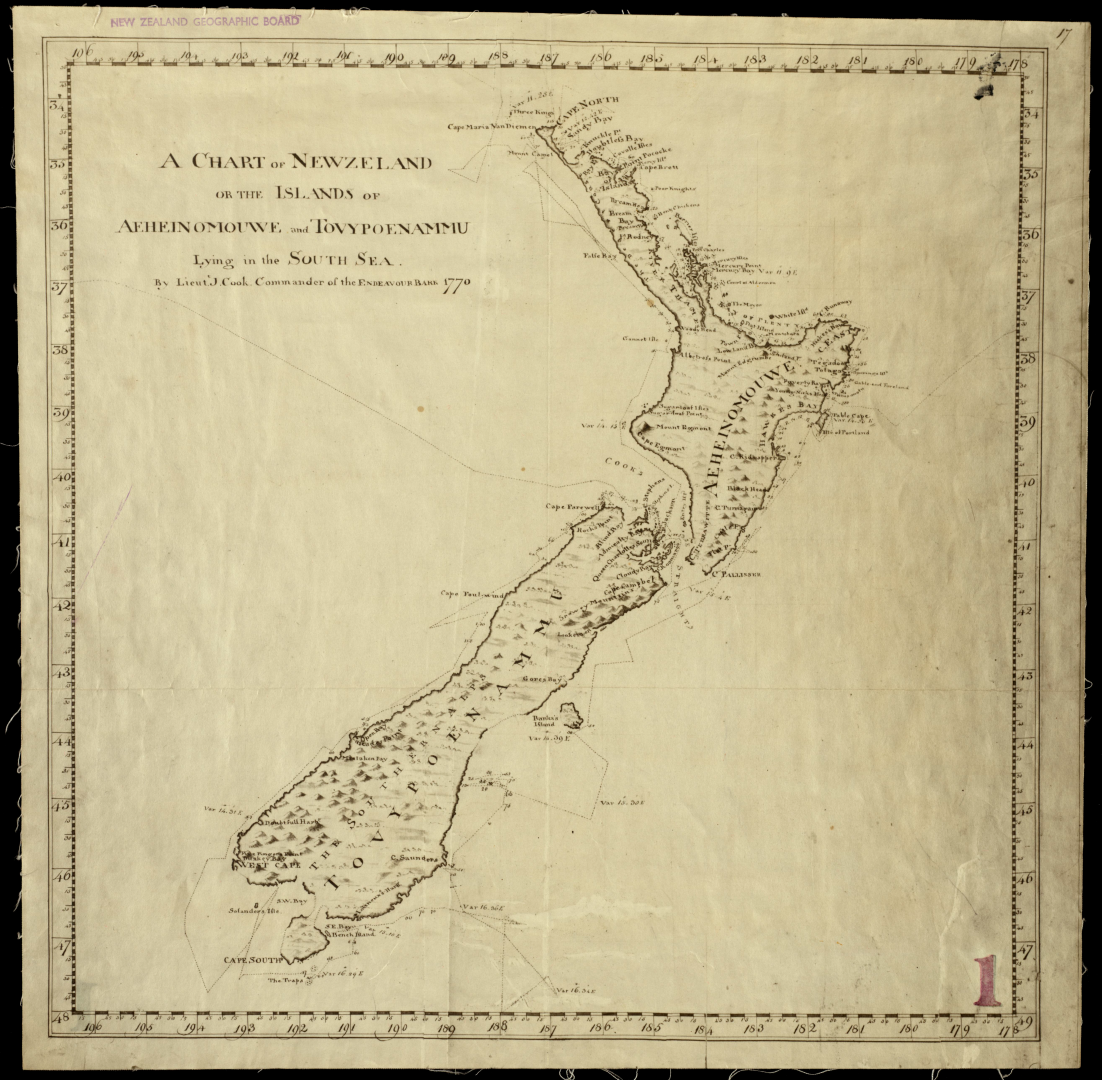
-
Quarry railway line 1
Date: 01 Jan 1890Location: Timaru, Canterbury